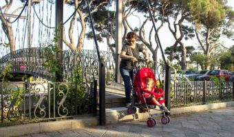
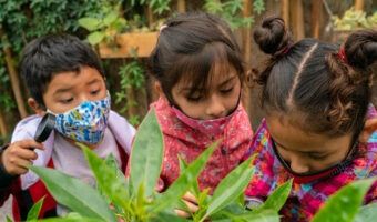
GRADE, with the support of the Bernard van Leer Foundation, has been working on the development of indicators and instruments related to access to, use and quality of public spaces in Metropolitan Lima, mainly in districts with high rates of poverty and urban violence.
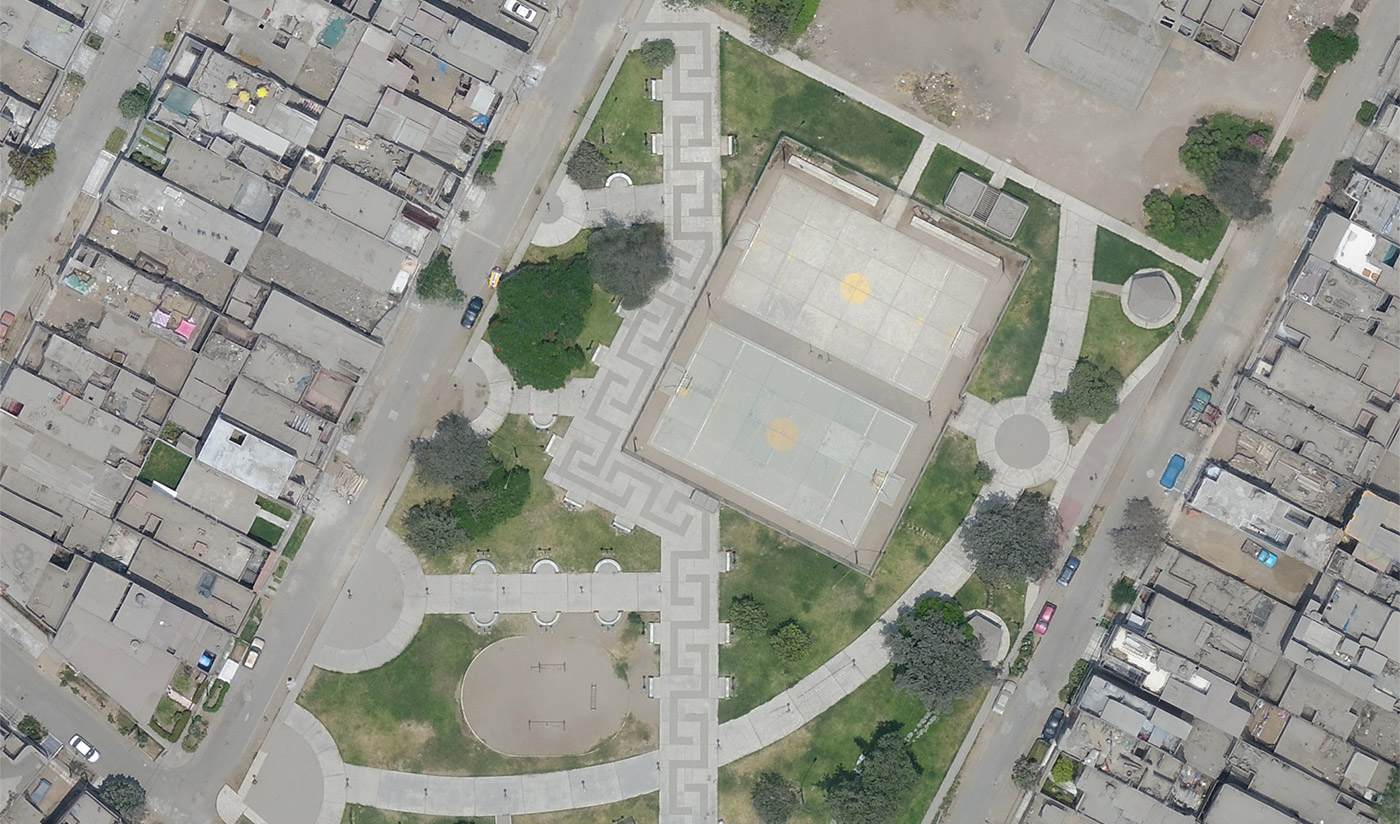
The objective is to provide local and central governments with tools that will enable them to monitor and improve public spaces. These tools include indicators – such as the quality of the environment, ease of access for pedestrians, and level of use by families – and instruments for assessing them, such as checklists and drone photography. The use of drone photography is particularly innovative in assessing the state of public spaces.
During the first phase of the project, in 2018, we conducted a pilot study in the district of San Juan de Miraflores, located in southern Lima. We developed and administered an observation guide in the district’s parks, and took photos with drones. We found that the parks:
- were mostly not protected by any security features
- had either no playground facilities at all, or only basic playground facilities that did not encourage creative play
- were hard to access because footpaths are inadequate and the surrounding areas are polluted by garbage
- had been poorly maintained by the local government, and
- were not commonly used by children.
Currently we are fine-tuning the instruments and indicators, and validating them by applying them in other settings – the districts of Comas and Carabayllo, located in northern Lima, which are also characterised by high rates of poverty and urban violence. Preliminary analyses show the issues are similar.
We hope that local governments will be able to use the resulting statistical information to improve the public spaces they administer, and the National Institute of Statistics and Informatics (INEI) of Peru will be able to incorporate the instruments and indicators into the national statistical system.


